Map 19 – Leeds Zoological and Botanical Gardens
A Garden Through Time
Thanks to a grant from Leeds Inspired, we have recently produced an audio walk that follows the footprint of the Leeds Zoological and Botanical Gardens. The Gardens existed in Headingley between 1840 and 1858.
Sadly, the attraction was underfunded from the start and was dogged throughout its short existence by monetary troubles. Despite being taken into private ownership in 1848 and run on a more determinedly commercial footing, the gardens closed their gates for good, just ten years later.
Today, the Gardens are long gone but their existence has not been forgotten. There are traces of them to be found in the archives at Leeds Central Library; records of the minutes of the Gardens committee, adverts for events and gala days, newspaper reports and printed letters from a variety of correspondents, offering their opinions on the proper running and management of the site. There are also physical traces that have been left behind, such as the remains of the bear pit on Cardigan Road.
This is probably the most accurate representation available of what the site actually looked like.
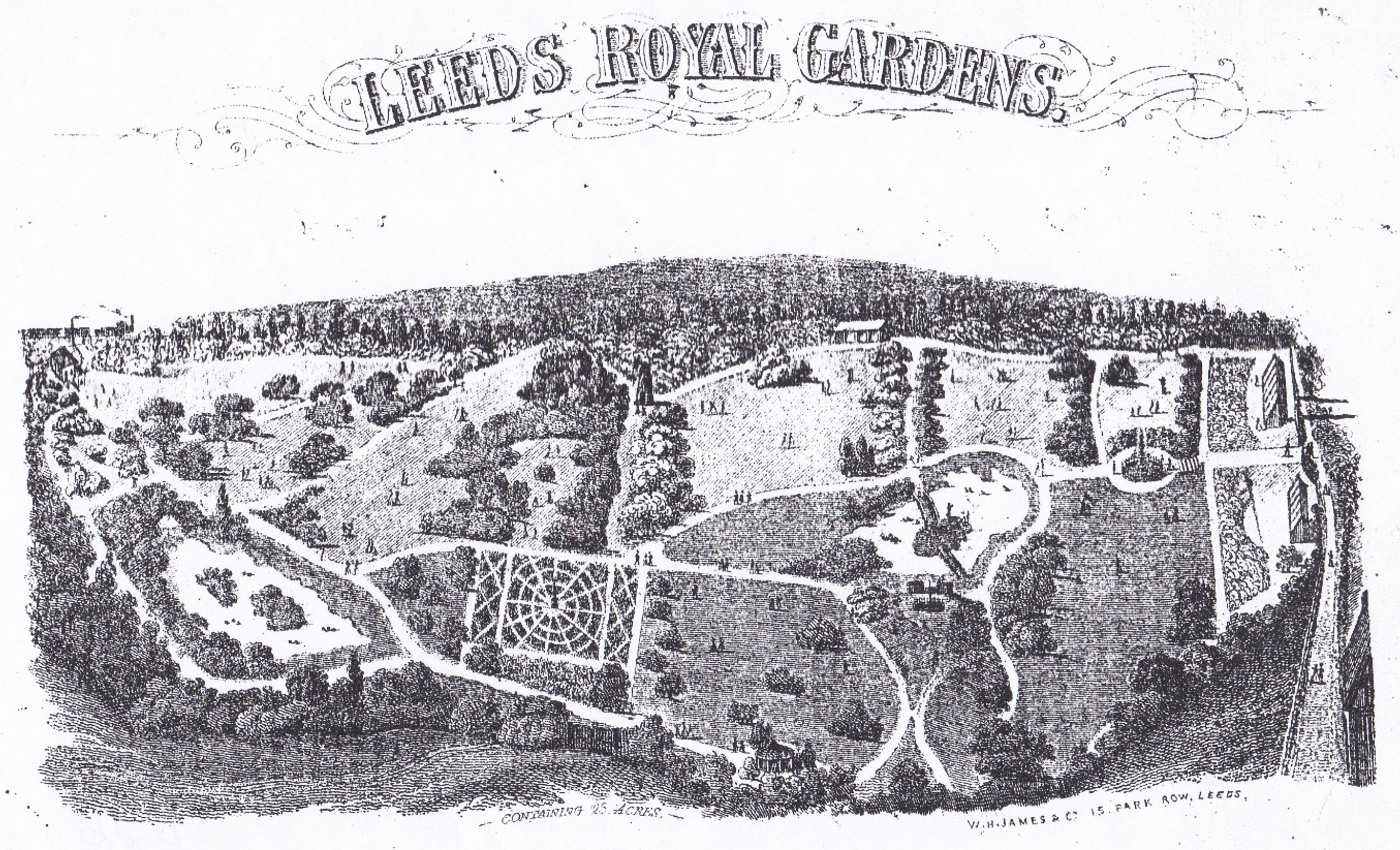
Engraving of the Gardens, taken from the letterhead of Thomas Clapham. Clapham ran the Gardens from 1848-58. (Image provided by Eveleigh Bradford).
In creating this project, we have worked with people living near to the Gardens’ former site, to bring to life some of the historical texts that tell the story of this well-intentioned but ultimately ill-fated venture. We have also commissioned five local artists, to create their own responses to the Gardens and their history.
The walk begins and ends at the Chapel Lane entrance to Burley Park Station in Headingley. It takes around two hours to complete, at a leisurely pace. The walk is fairly short in terms of distance covered. There are ten stopping points along the route, where audio files can be triggered. The files tell the story of the Gardens’ creation, existence and eventual demise.
Audio files for the walk are available here. You should be able to listen to them on your phone, your tablet or any other device that is capable of playing mp3 files. You can download the mp3 files below (right click ‘Download file’ and choose ‘Save link as…’), or listen to them online by pressing the ‘Play’ button.
Stop 1 ( Download file)
Stop 2 ( Download file)
Stop 3 ( Download file)
Stop 4 ( Download file)
Stop 5 ( Download file)
Stop 6 ( Download file)
Stop 7 ( Download file)
Stop 8 ( Download file)
Stop 9 ( Download file)
Stop 10 ( Download file)
The route for the walk is contained in these audio tracks, but to avoid confusion, we have also created a special map which shows the route and the places to trigger the narration.
This is available for download as a pdf here:
Coloured map
Black and white map

You can also download a GPS enabled version of the walk for your smartphone, which will trigger the audio files automatically at the correct locations – click here to download the app and get started.
The entire walk is available to listen to on Soundcloud. This version will play as a continuous recording, which you can enjoy from the comfort of an armchair or sofa. You can also enjoy the selection of photos below, taken along the route of the walk, as you listen…
Finally, the text of the walk is available to download as a PDF, for anyone who prefers to read! Click here to download the script.
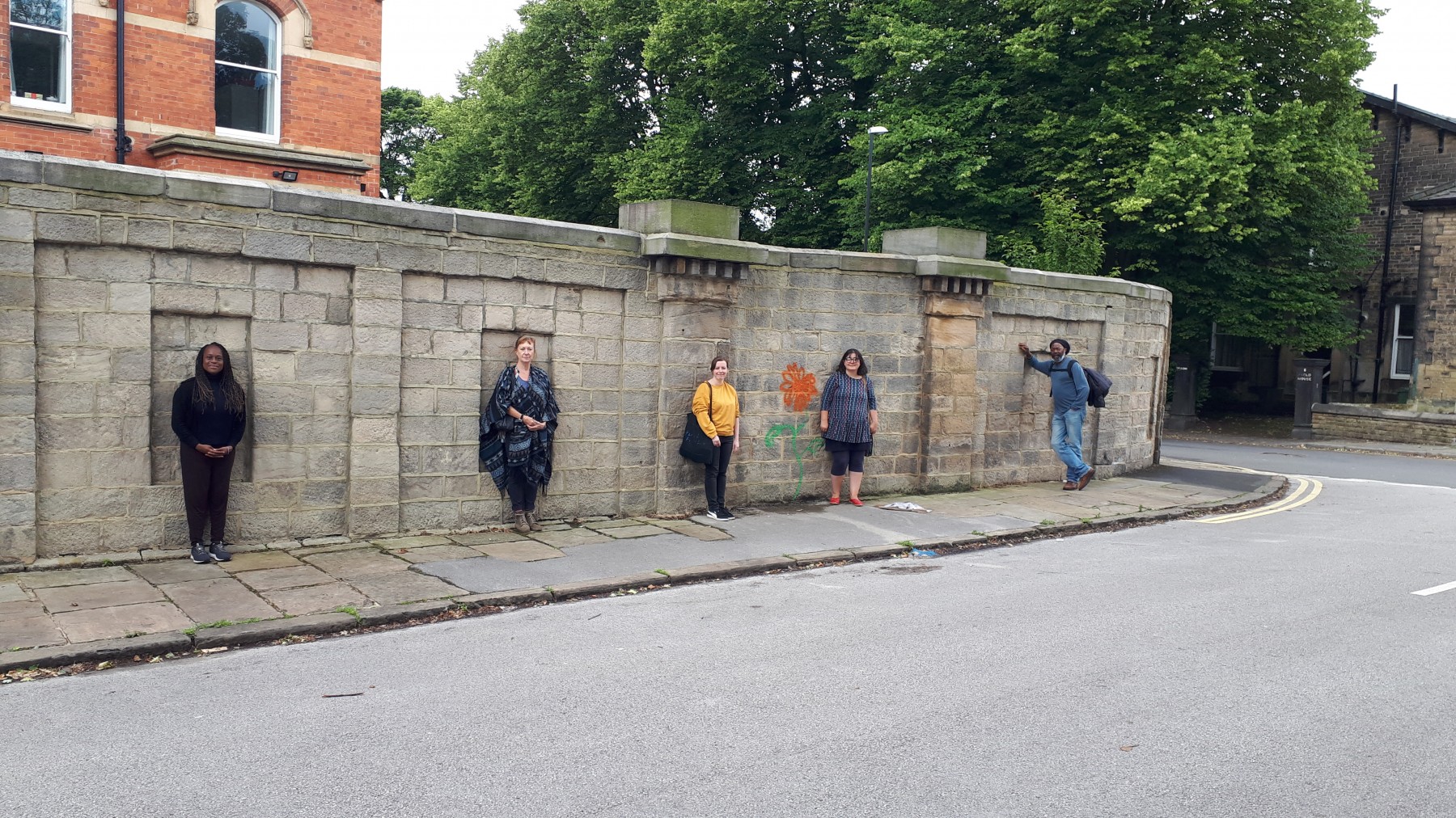


Photos by Matthew Bellwood
There is more information on the Gardens here, courtesy of the Headingley Development Trust.
Project credits
Text and narration: Matthew Bellwood
Audio production and sound design: Rosie Parsons
With creative contributions from:
Alison Andrews (The Bear)
Pauline Mayers
Carol Sorhaindo
Oscar Stafford (Sparrow Park)
Joe Williams (Pablo Fanque)
Community readers:
Eveleigh Bradford, Sue Buckle, Louise Combes, Jay Combes, Janet Douglas, Alice Miller, Jackie Parsons, Thom Robinson, Hazel Smoczynska, Gerry Troyna, Richard Tyler, Helen White, Pam Wilson
Map graphics: Amy Levene
Special thanks to: Eveleigh Bradford, for historical fact-checking and for the use of material from They Lived In Leeds, on the life of Thomas Clapham, Richard Tyler and the Headingley Development Trust and Hazel Smoczynska for support and inspiration.
This project was enabled by funding from Leeds Inspired.
